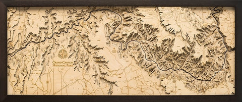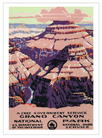
Grand Canyon Hand-Drawn Map
Regular price
$25.00
Original hand-drawn pen and ink/watercolor story map of one of the most prized natural gems of not only the United States but North America. Grand Canyon extends 277 miles touching three other states: Nevada, Utah, and Colorado. This geologic marvel attracts millions of people a year to observe the stunning canyon which formed by tectonic uplift creating the Colorado Plateau through which the Colorado River eroded over millions of years to result in the famous canyon.
The lithograph print by Chris Robitaille of Xplorer Maps is 24” tall by 18” wide.
This item is packaged in a cardboard tube.
This image is watermarked to protect the artist.


