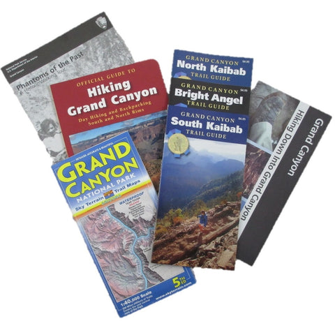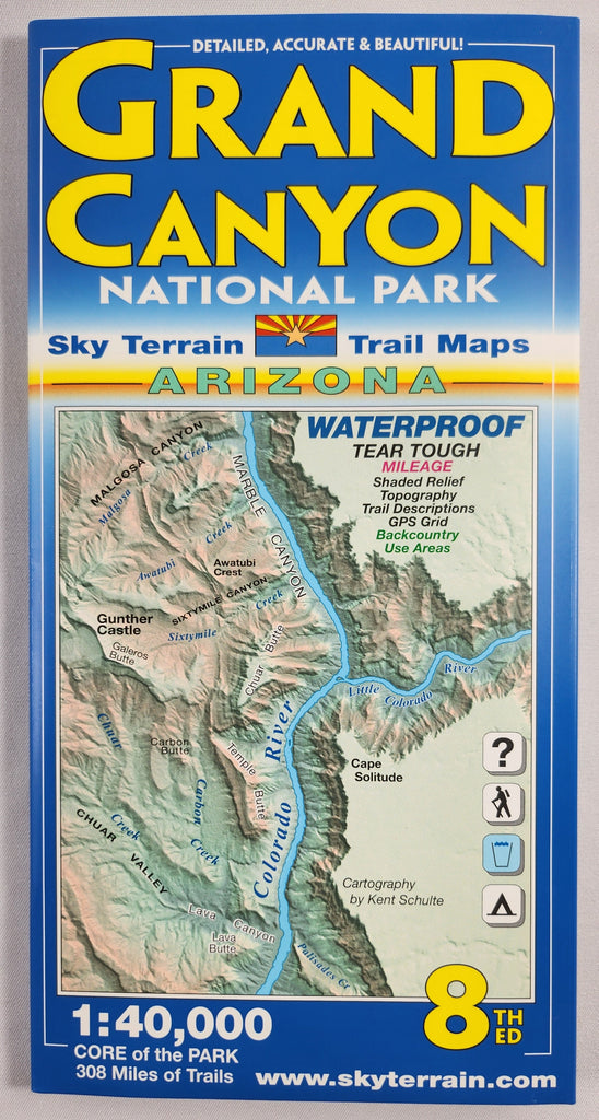

Grand Canyon National Park Sky Terrain Trail Map
Regular price
$14.95
Two maps on one sheet, each at a 1:40,000 scale, detail the core of Grand Canyon National Park. Mapped area stretches from Desert View in the east to Point Sublime in the west, along both the North & South rims. Each map covers the equivalent area of four 1:24,000-scale USGS maps. The two maps together cover over 308,000 acres and 291 miles of trails and routes. (NOT covered on the maps are Bass Trail, Havasu Canyon, Kanab Canyon & Plateau, Pasture Wash, Swamp Point and Tuckup Canyon.)
Waterproof and tear-proof. Contour intervals = 100 feet. GPS compatible.
Revised 8th Edition
Portion of corridor shown in image as an example. Image does not include entire map.